 SERVIR WEST AFRICA CATALOGUE
Type of resources
Available actions
Topics
Keywords
Contact for the resource
Provided by
Years
Formats
Representation types
Update frequencies
status
Scale
-

The data reported in this table are statistical information about the Socio-Demographic information, the Environmental impact of Artisanal Mining (Galamsey) activities and the location of the mining activities. This data captures the location of Artisanal Mining (Galamsey) for Atiwa East, Atiwa West & Fanteakwa South district. It also reveals the spatial distribution and time series of these producers over the entire district. Further, it looks at the mining methods, chemicals used, health challenges and many such themes.
-
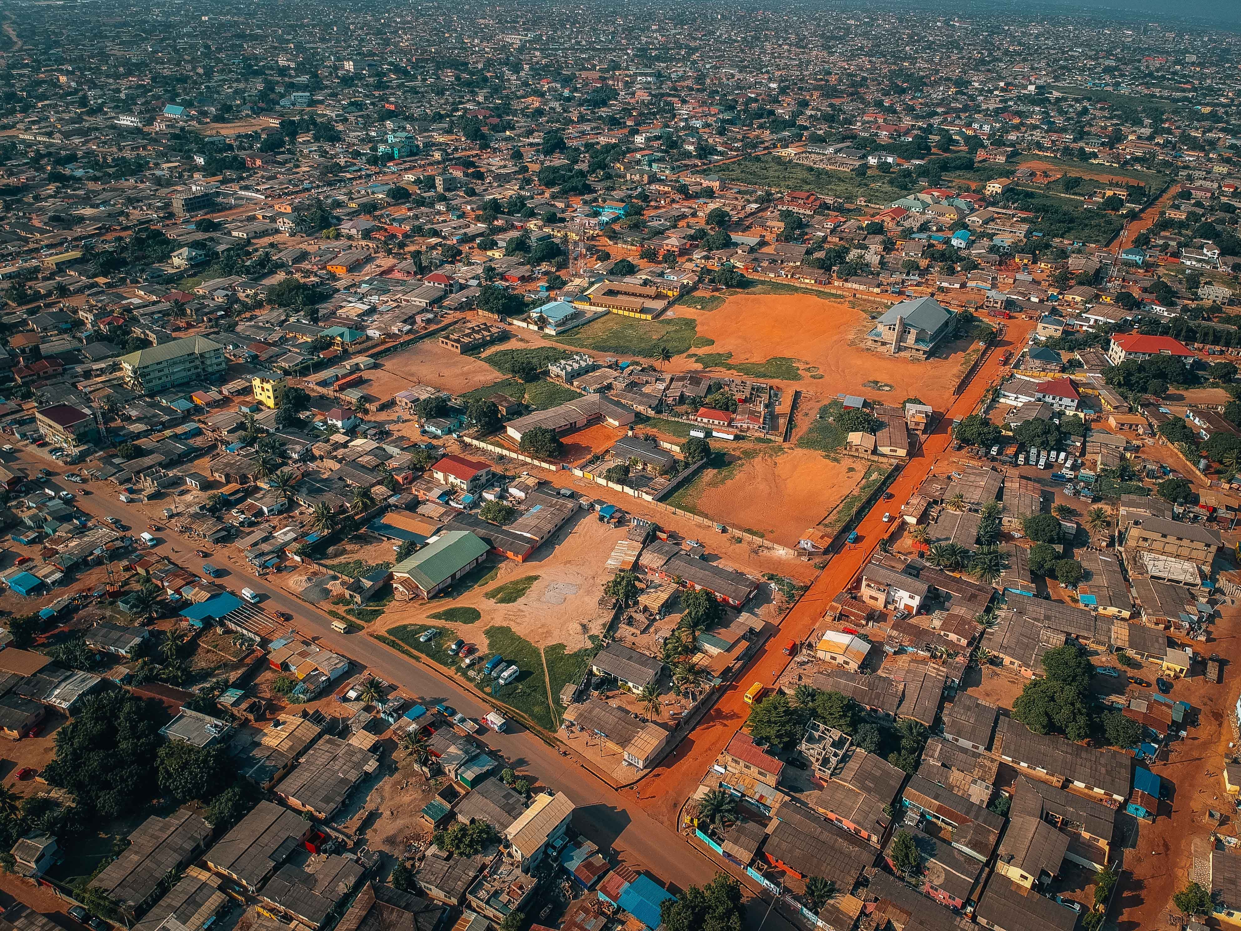
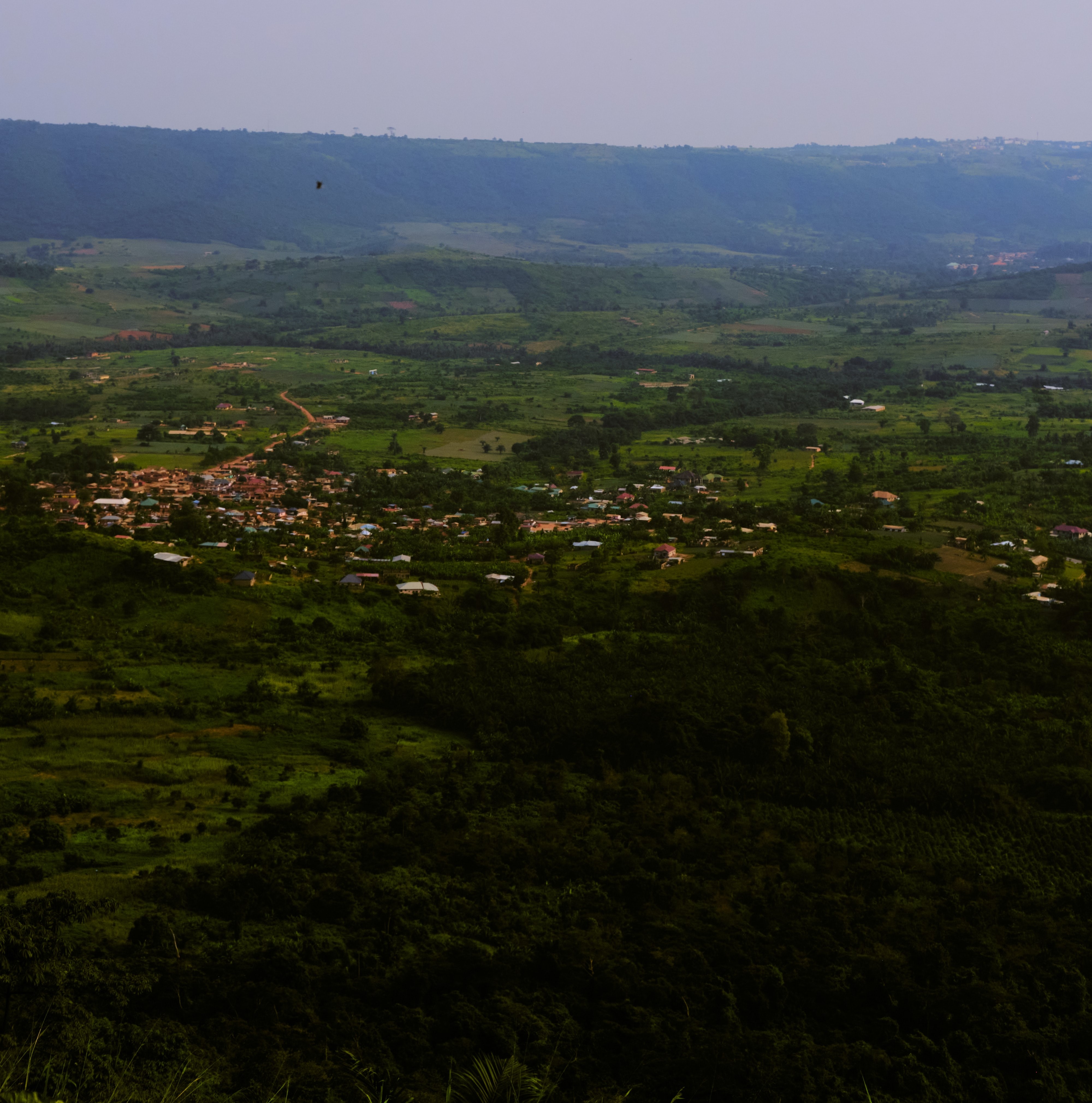
This feature contains information about 54935 communities across the country. The feature represents the location of Communities (all) in Ghana, including hamlets, major towns, regional and district capitals, etc. This is to provide point based location of most of identified communities in the country. The dataset provides sources of the institution or organization involved in the collection of the data.
-
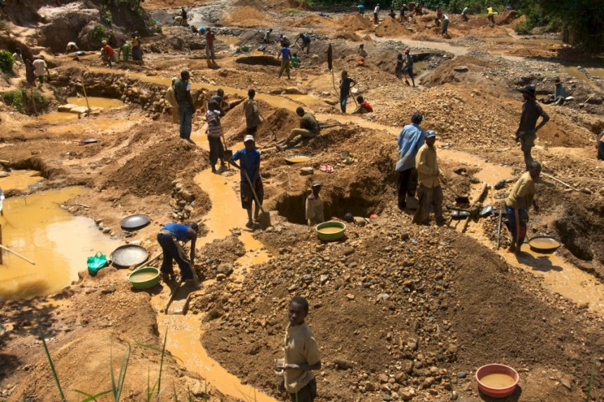
The data reported in this table are statistical infromation about the Socio-Demographic information, Environmental impact about Artisanal Mining (Galamsey) activities and and the location of the minig activities. This data captures the location of Artisanal Mining (Galamsey) for Abuakwa South district. It also reveals the spatial distribution and time series of these producers over the entire district and further looks at the of mining methods, chemicals used, health challenges and many of such themes.
-
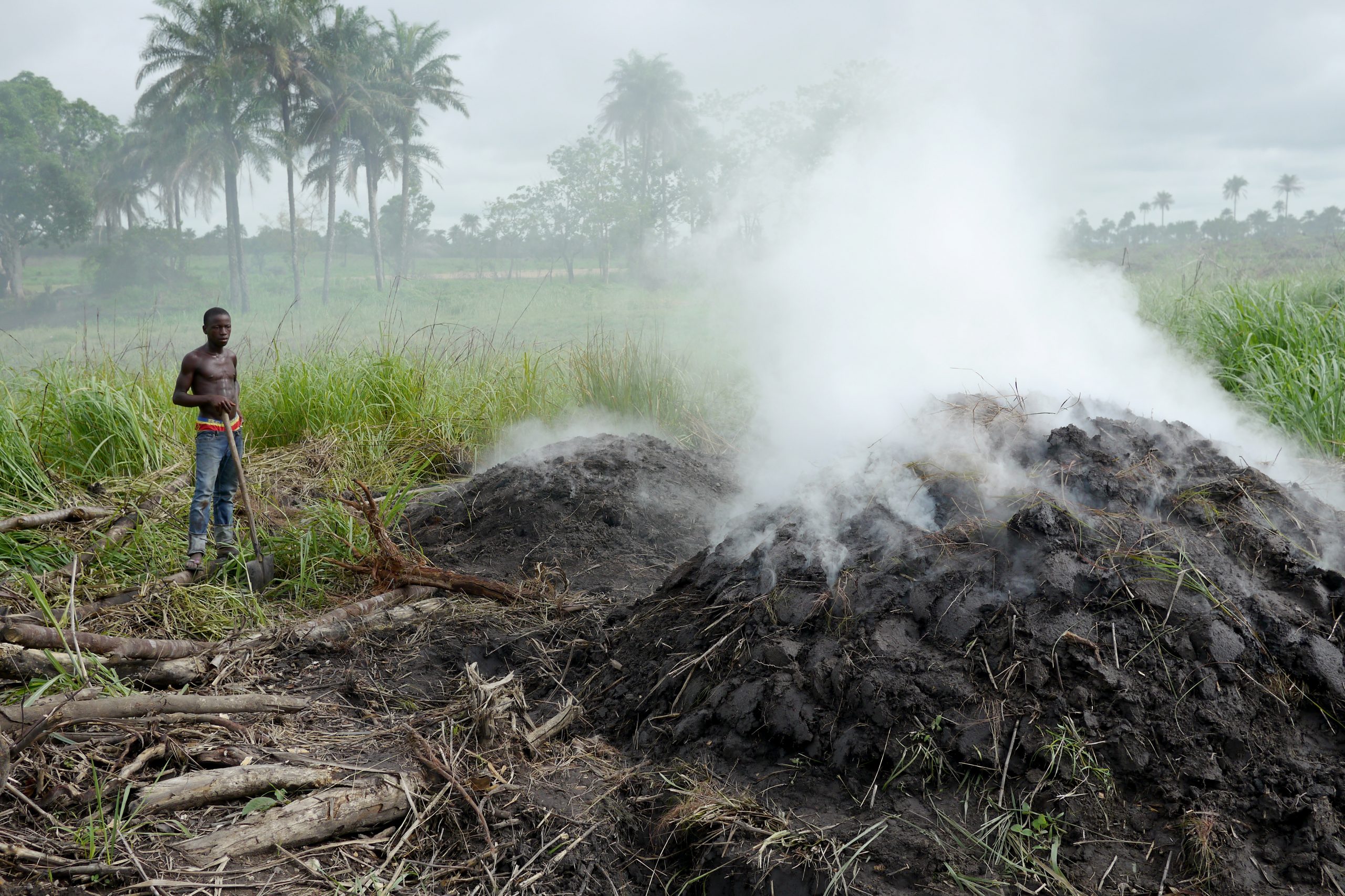
Socio-Demographic data on Charcoal Production activities in West Gonja District, Ghana, West Africa.
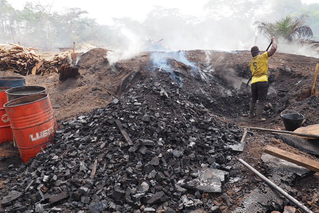
The data reported in this table are statistical infromation about the Socio-Demographic information about charcoal producers and and the location of the charcoal production activities. This data captures the location of all charcoal production sites for West Gonja district. It also reveals the spatial distribution and time series of these producers over the entire district and further looks at the of Kiln type, the scale of production, rate of production, source of credit for production, source of energy and many of such themes.
-
The data reported in this table are statistical information about the Socio-Economic information about charcoal producers and the location of the charcoal production activities. This data captures the location of all charcoal production sites for the Kintampo North district. It also reveals the spatial distribution and time series of these producers over the entire district and further looks at Health Hazards, the scale of production, Livelihood and economic situations,Gender and many of such themes.
-
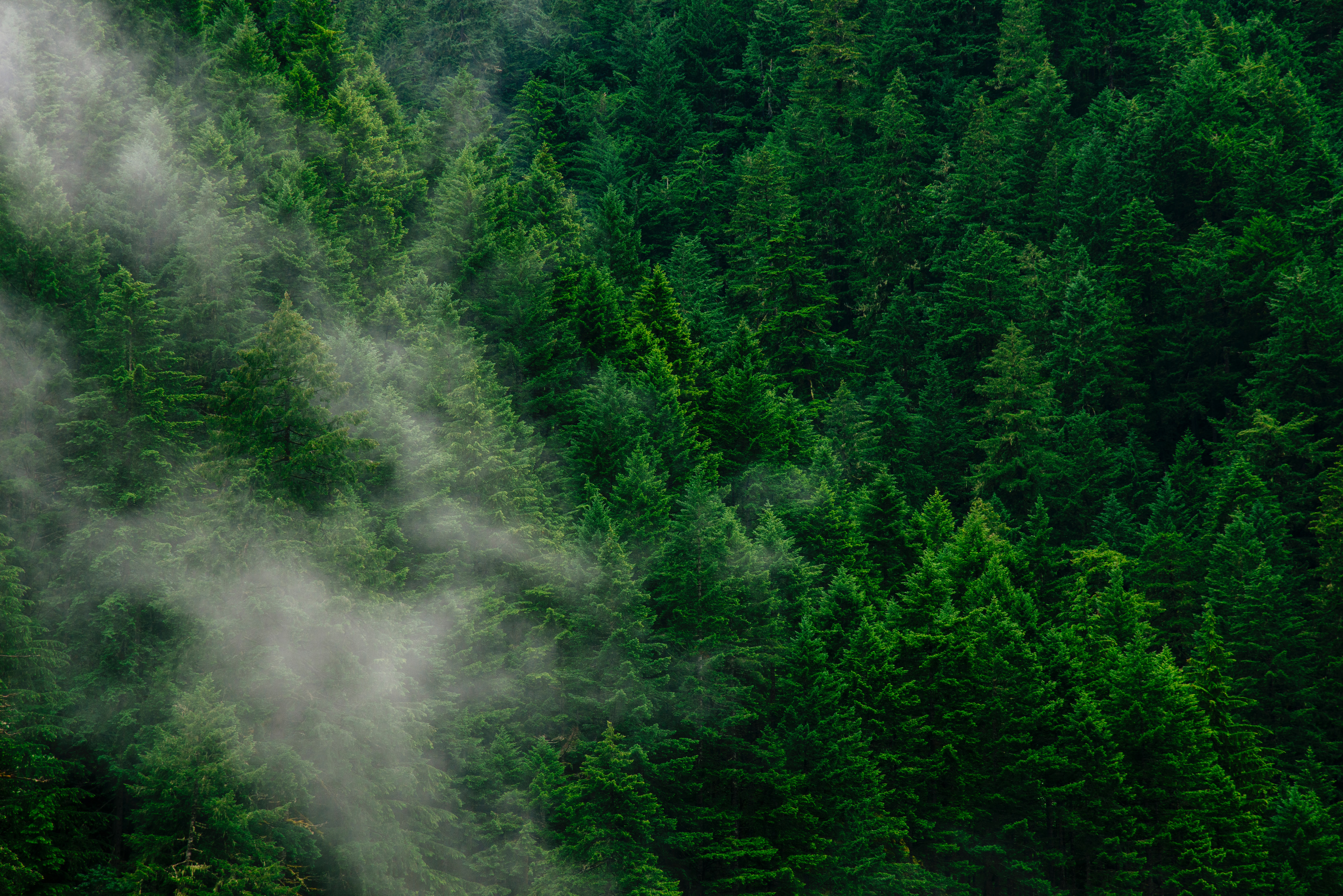
Ghana Forest Reserves layer is the surveyed protected flora and fauna and it cosist of Dense tree canopy cover.
-
Ghana Forest Reserves layer is the surveyed protected flora and fauna and it cosist of Dense tree canopy cover.
-
The data reported in this table are digitised points from the Google Earth Pro platform. This data captures the location and diameter of all charcoal production sites for West Gonja district. It also reveals the spatial distribution and time series of these sites over the entire district for each of the years
-
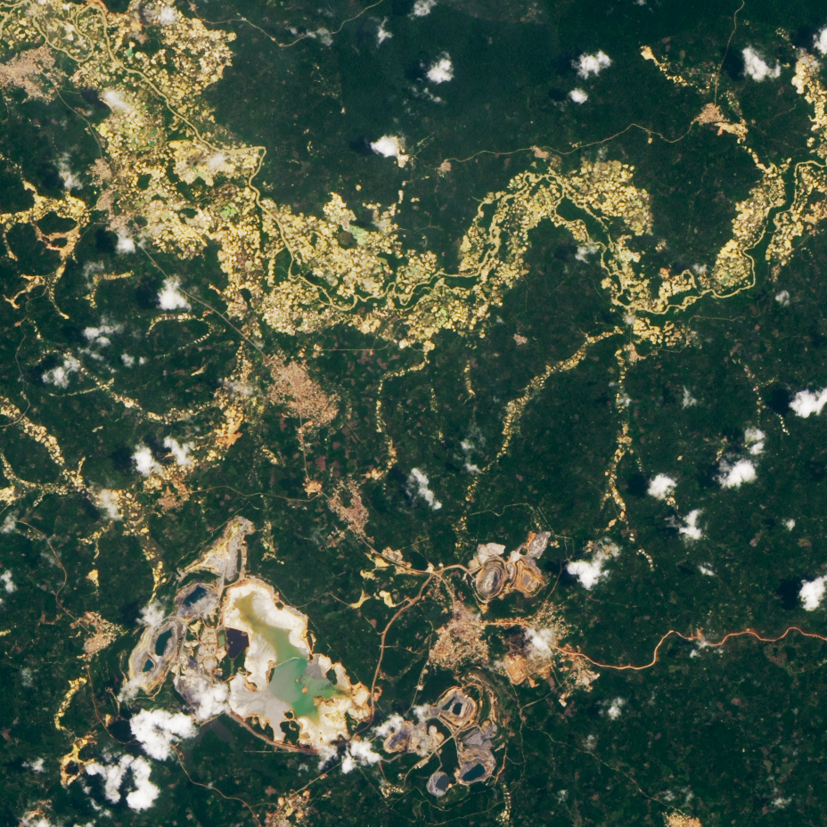
These footprints were analysed from Planet NICFI satellite imagery for 2015, 2016, 2017, 2018, 2019, 2020, 2021, 2022, 2023 and 2024. Raster layers of illicit mining areas were derived from these imagery.
-
This is a raster dataset showing the various land use land cover features of Ghana for 2017 at a resolution of 500m